

 Red Dragon I.T. Ltd.
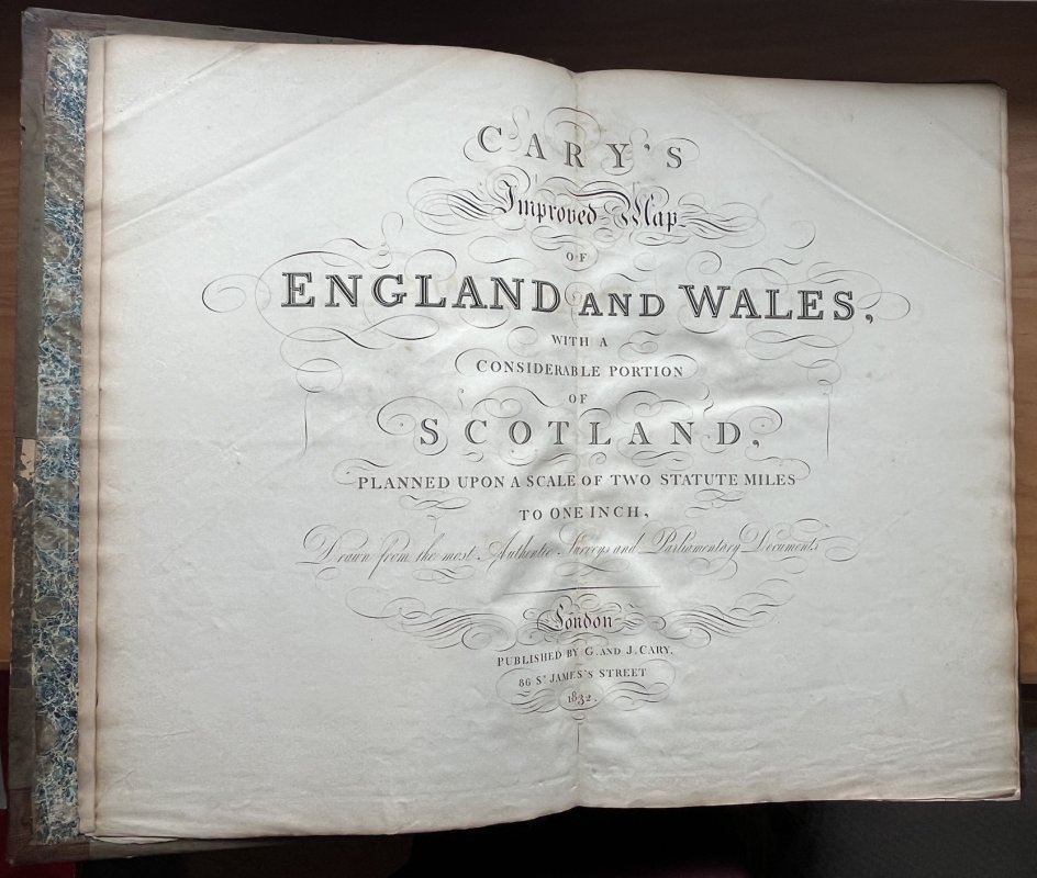
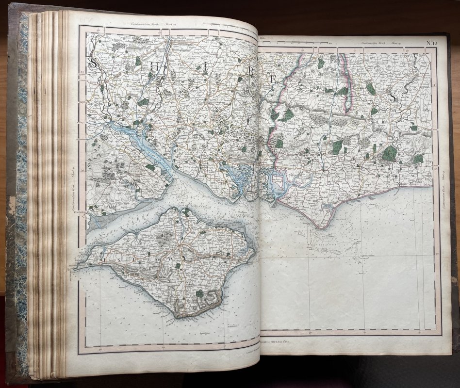
CARY'S IMPROVED MAP OF ENGLAND AND WALES with a Considerable Portion of Scotland, Planned Upon a Scale of Two Statute Miles to One Inch Drawn from the most Authentic Surveys and Parliamentary Documents
Published by G. and J. Cary in London 1832
SKU: 61196
£2,000.00
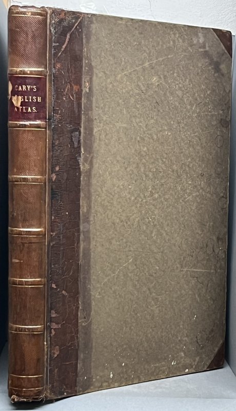
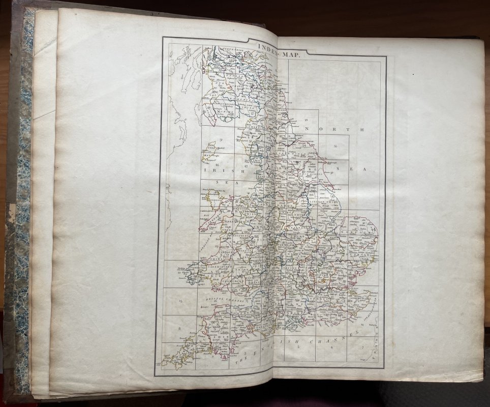
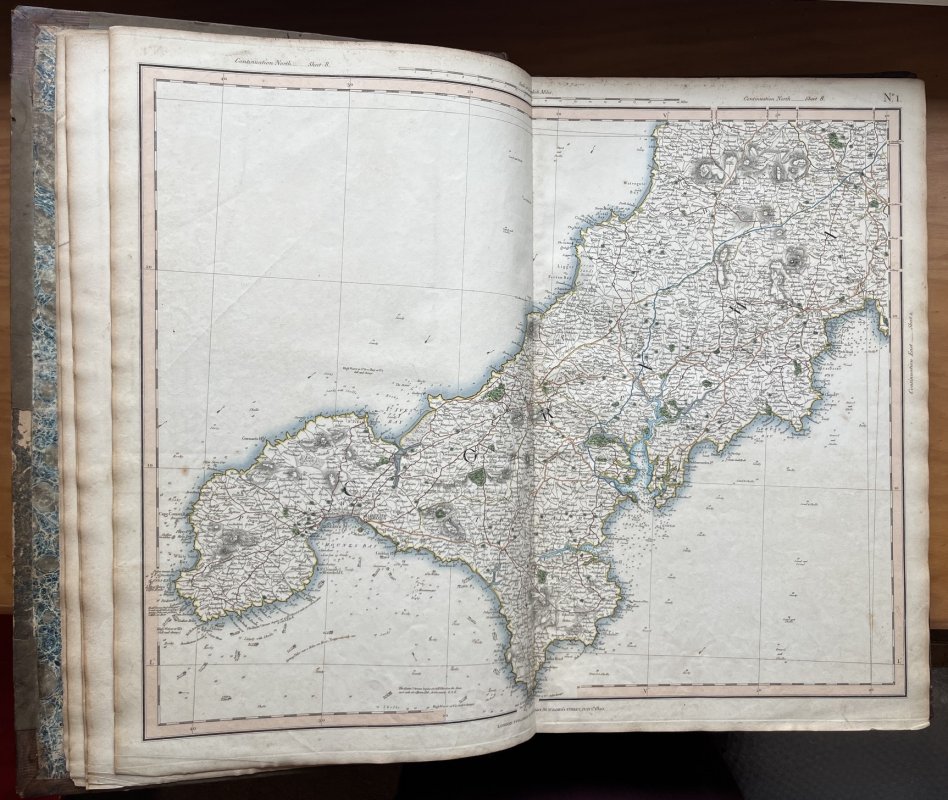
No Edition Stated. Maps dated from 1820 to 1830. Folio hardback (approx. 56 x 37cm) in contemporary half brown diced calf with raised bands, dark red title label, gilt to spine, and brown paper-covered boards which have been reinforced at spine with vertical strips of brown calf (please see photo). Original marbled endpapers. Double-page engraved title page, dated 1832, followed by a double-page Index Map with colour outlines, showing how the 65 maps have been divided up and the 65 double-page colour maps, dated from 1820 to 1830. Engraved armorial bookplate of James Amery F.S.A. to front pastedown. No other markings or inscriptions. Occasional light handling marks and slight tanning to map and page edges. A few small closed tears to margins of maps and a couple of map edges reinforced on the reverse. Some small areas of loss to edges and corners of ffep. Some light staining, small flecks of white paint and rubbing to boards. Light wear and rubbing to top and base of spine and corners and a couple of areas of loss to top surface of title label (please see photo). A VERY GOOD COPY.
Click an image to enlarge: