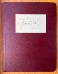
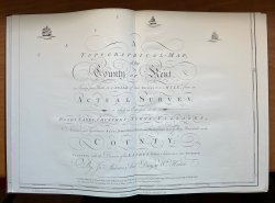
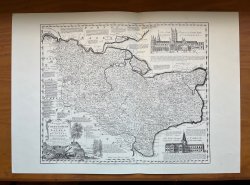
A Topographical-Map of the County of Kent in Twenty-five Sheets on a Scale of Two Inches to a Mile, from an Actual Survey in which are Expressed all the Roads, Lanes, Churches, Towns, Villages, Noblemen and Gentlemens Seats, Roman Roads, Hills, Rivers, Wo
Published by Harry Margary in Lympne Castle, Kent 1968
SKU: 59192
£160.00
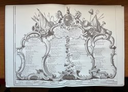
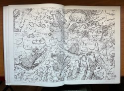
Facsimile of 1769 First Edition. Folio (approx. 51 x 40.5cm) hardback in maroon rexine with paper title label to upper board. Pages unnumbered. Double-page title, printer's plan layout of the 25 sheets, double-page Dedication, followed by the 23 double-page maps, all printed on one side only. Also contains many other facsimile maps of Kent and parts of Kent, some loose, some tipped-in. Previous owner's bookplate to front pastedown and ink inscription to verso of Dedication. A couple of small marks to boards and internally bright and clean. Comes with original cardboard packing case. A VERY GOOD COPY with many extra facsimile maps.


 Red Dragon I.T. Ltd.
